The challenge
Crews of a municipal water utility recorded pipe failures by hand. The notes were then retyped into spreadsheets. Locations were vague, records were inconsistent and there was no history or statistics to plan network maintenance.
Our approach
- Analysed the existing workflow with the utility’s technical department.
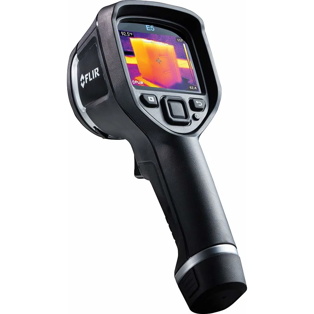
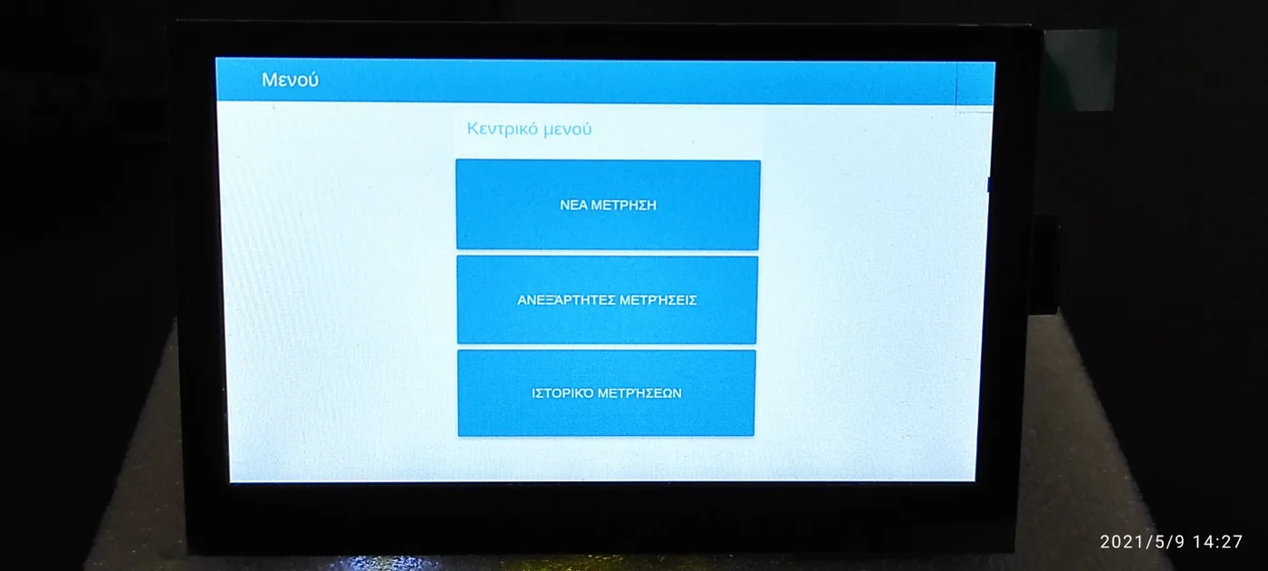
- Designed handheld devices with sensors, camera and connectivity for real field conditions.
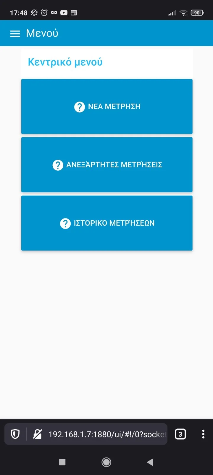
- Built a simple field application for structured records: location, dimensions, pipe material, photos.
- Built a central platform to consolidate, map and analyse all records.
Results & features
- Accurate, geolocated records captured once, at the point of work.
- Full failure history per network section and statistics for maintenance planning.
- Better coordination between field crews and the central office.